
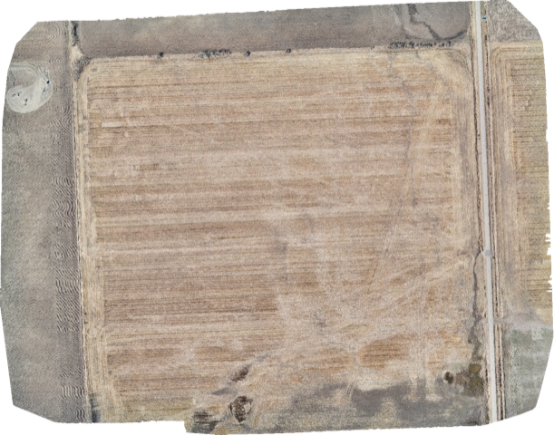
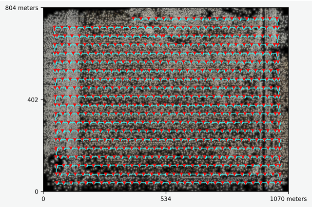
The advantage:
Safety is our priority – Established SOP’s and robust safety systems to keep everyone safe, and save both time and money
ROI – Investing in drone-based thermal imaging provides valuable and actionable data that can translate into huge cost-benefits.
Certified and Insured – Our pilots are Transport Canada certified and able to shoot in advanced operating environments, in controlled airspace, over people (clearance needed) and even at night. We carry $5 million in specialty drone liability insurance.
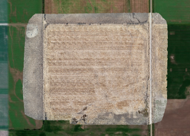

