
Drones are quickly becoming an integral part of the farming process – increasing efficiency and maximizing profits.
Northern Drone Services provides value-added services to your farm by visual inspection of land and crops, monitoring weeds and overall crop health, providing drainage and ortho maps, and assessing crop damage.
Established SOP’s and robust safety systems to keep everyone safe, and save both time and money
Investing in drone-based thermal imaging provides valuable and actionable data that can translate into huge cost-benefits.
Our pilots are Transport Canada certified and able to shoot in advanced operating environments.
Over people (clearance needed) and even at night. We carry $5 million in specialty drone liability insurance.
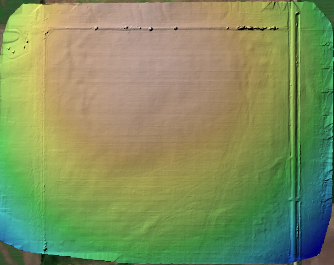
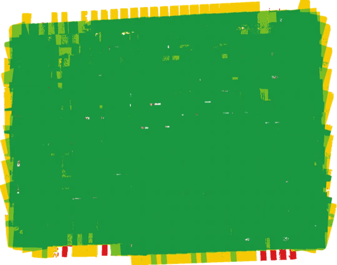
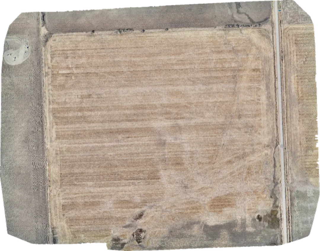
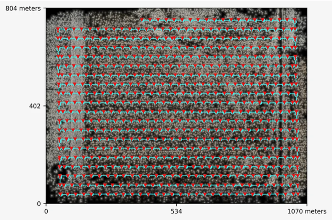
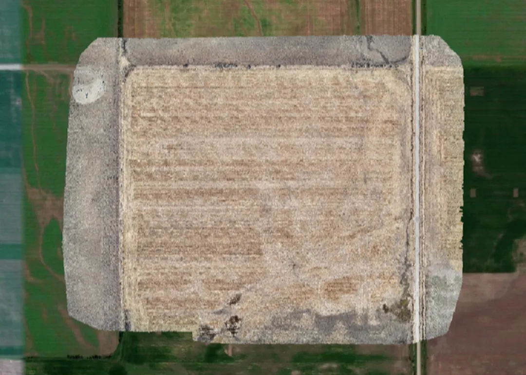
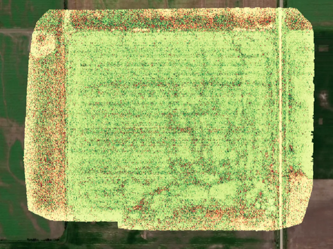
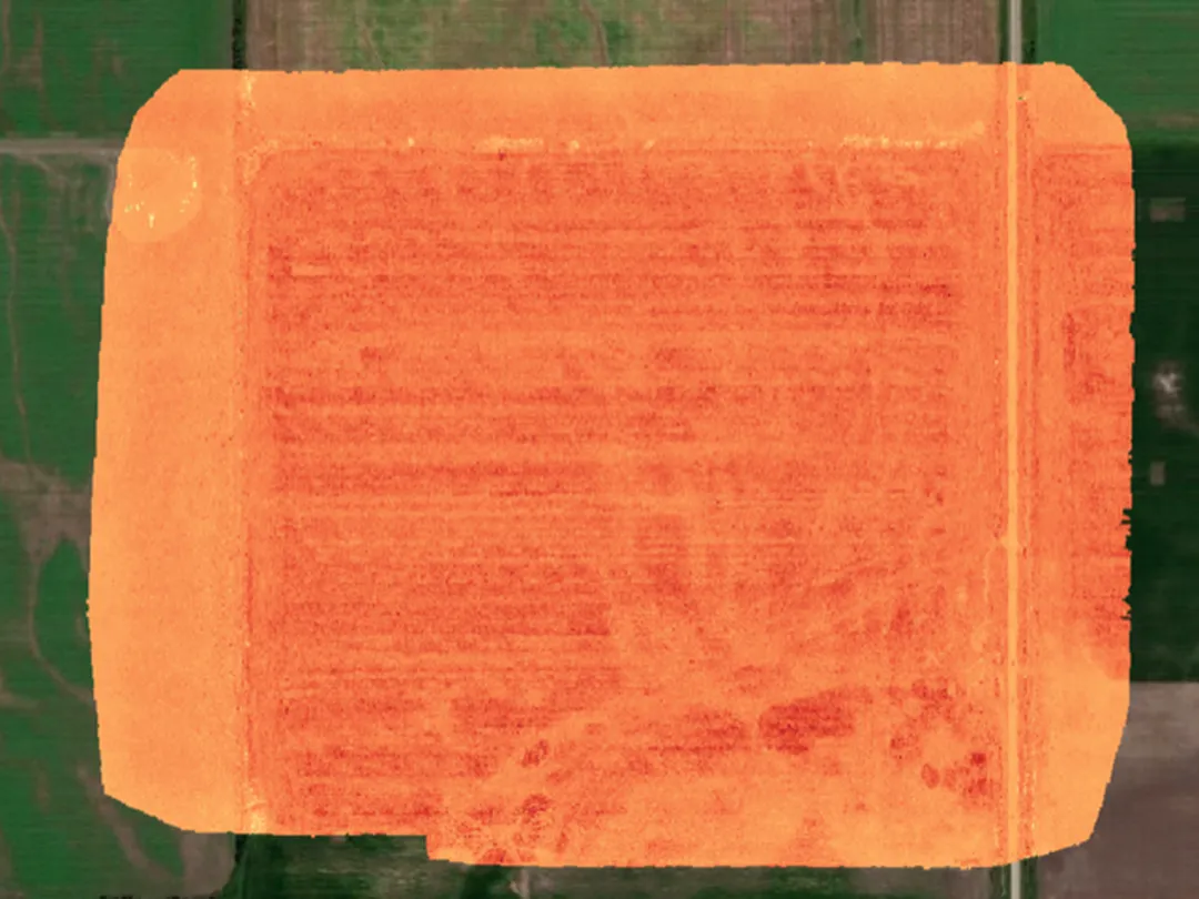
Photo / Video
Asset Inspection
Thermal Imaging & Inspections
Mapping & Agro
Real Estate Photography
Search & Municipal
Events / Livestream
Our team is ready to support your business with reliable drone solutions and responsive service.
Need some more info to be able to move ahead with your agricutural survey? Talk to one of our professionals to get the expert advice you need to take full advantage of our years of experience in the drone industry
We provide professional drone services backed by experienced operators, reliable equipment, and a strong focus on safety, accuracy, and responsive support.
We support a wide range of projects including inspections, mapping, thermal surveys, aerial imaging, industrial applications, and custom commercial drone operations.
Simply send us your project details through the contact form, and our team will review your requirements and get back to you with the next steps.